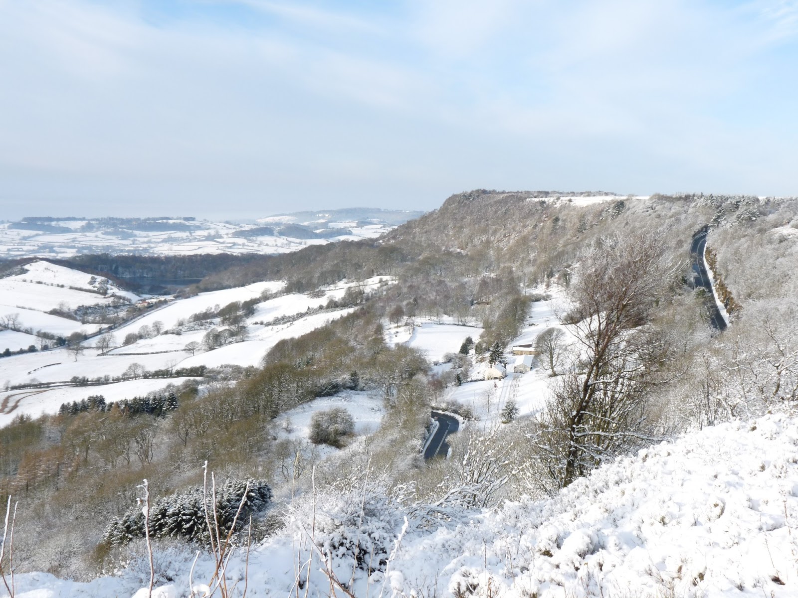
A beautiful day for a walk along the Cleveland Way Long Distance Footpath. This section is from the Kilburn White Horse to Sutton Bank and back again, a total distance of about three and a half to four miles which takes about one hour walking at a good steady pace. There were plenty of walkers out making the most of this wonderful day.
Kilburn is 6 miles from Thirsk, a 10 minute drive.
The Cleveland Way Long Distance Footpath follows the edge of the North Yorkshire Moors escarpment and is a very popular walk. There are magnificent views from all points of the walk. Some people take about 10 days to walk the complete distance but many people just walk sections of it at a time when it is convenient and when the weather conditions are suitable, particularly during the winter season.

A view of the White Horse from the Thirsk to Kilburn road close to Kilburn village.

A view from the Kilburn to White Horse Bank road.

Adjacent to the Kilburn White Horse Bank road.

A view from the White Horse Car Park. Free parking - makes a change!!

There are 151 steep steps from the car park up to the top of the White Horse and The Cleveland Way Long Distance Footpath. You will most likely be out of breath by the time you reach the top. If you are not so fit there is a small car park at the top of the White Horse Bank which is also free to park.

A view of the White Horse as one climbs the steps to the top.

More steps - phew!!.

The top of the steps. There is a wooden seat to rest oneself just behind where I am standing to take the photograph - very welcome.

Looking down on the White Horse Car Park from the Cleveland Way and overlooking the White Horse. Kilburn village is out of view a mile to the south.

Looking south east from the Cleveland Way Footpath. In the distance, about 20 miles away, are the Yorkshire Wolds. Castle Howard is about 15 miles to the south east.

A view looking north, north west from Roulston Scar, (adjacent to the Cleveland Way Footpath and close to the Yorkshire Gliding Club). Gliders take off over this cliff into westerly wind directions. In the distance are Whitestone Cliff (about 2 miles to the north), Lake Gormire and the villages of Thirlby and Boltby.

Thirlby village is in the middle distance. This village is four and a half miles east of Thirsk and is where James Herriot (real name Alf wight) world famous for his TV series and books "All Creature Great and Small" relocated to after moving out of Thirsk. The veterinary practice remained in Thirsk. Siegfried (real name Donald Sinclair) "All Creature Great and Small" lived at South Woods Hall which is situated just outside the village of Thirlby and at the foot of the hills. From the Cleveland Way Footpath one can look down on South Woods Hall.

This small structure has distances to places of interest inscribed on a metal plaque on top of it. This structure is situated at the top of Sutton Bank. Sutton Bank is 6 miles from Thirsk on the A170 road (10 minutes drive). The conical hill is called Hood Hill and the cliff to its left is Roulston Scar. Hood Hill is the site of neolithic habitation and can be reached by foot. Sutton Bank car park the Sutton Bank Visitors Centre and cafe are only a few minutes walk from here. The car park is not free but is not expensive. One can purchase for a small fee a permit which allows one all year round parking. Well worth the cost.

Just south of Sutton Bank car park (5 minute walk) looking towards Lake Gormire which can be seen to the left of the Cleveland Way Footpath. The memorial stone and wreath are there in remembrance of the airmen of two military aircraft that crashed close to this location. R.I.P.

Whitestone Cliff and Lake Gormire from the Cleveland Way.