Showing posts with label Roulston Scar. Show all posts

Monday, 4 February 2013

A week of extreme weather conditions. Wednesday 23rd January 2013.


View from the Cleveland Way Long Distance Footpath south of Sutton Bank looking north west at a frozen Lake Gormire and Whitestone Cliff. 


View from the Cleveland Way at Whitestone Cliff ( north of Sutton Bank ) looking south to Roulston Scar and Hood Hill. Wed. 23rd Jan. 


Looking down on an almost completely frozen Lake Gormire from Whitestone Cliff ( Wed. 23rd Jan. )
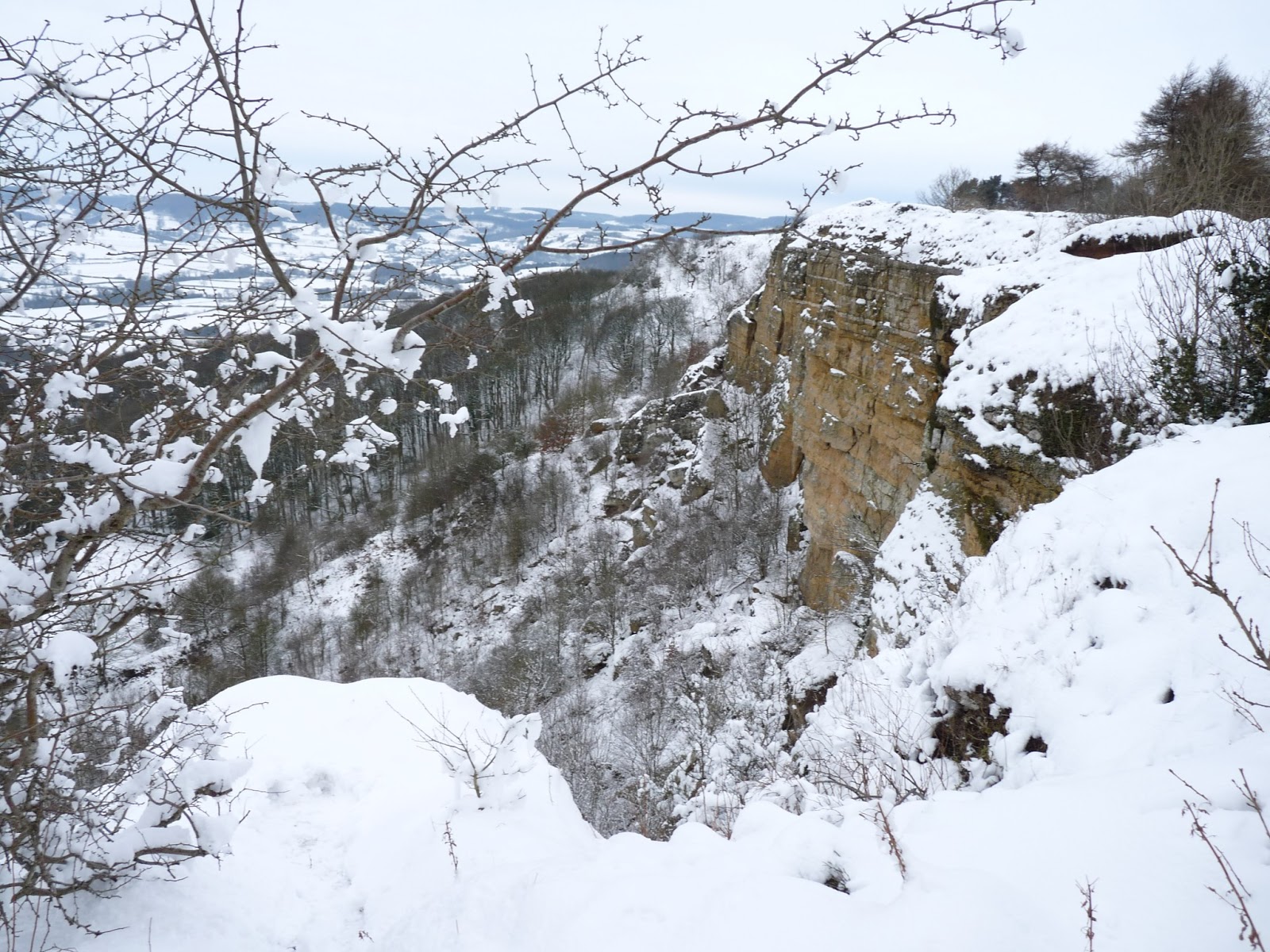


View of White Mare Crag from the Cleveland Way ( north of Sutton Bank ). Wed. 23rd Jan.


View of Lake Gormire from the Cleveland Way. ( Wed. 23rd Jan. )


Heading back to Sutton Bank ( late afternoon ). ( Wed. 23rd Jan. )


Looking from St. James House across St. James Green and the roofs of the town centre. ( Sat. 26th Jan. )


Out the back of St. James House ( Sat. 26th Jan. )


Looking east from St. James House to Sutton Bank 5 miles away. Early morning ( Sat. 26th Jan. )


Looking from St. James House across St. James Green to St. Mary's Church 24 hours after the above local snow scenes - rapid thaw.  Sun. 27th Jan. 


View from St. James House looking across St. James Green and the roofs of the town centre. ( Sun. 27th Jan. )


Sunday afternoon and this the result of the rapid thaw. A flooded Cod Beck River close to St. Mary's Church. Sun. 27th Jan.


The flooded Cod Beck has recreated the moat around this medieval site. ( Sun. 27th Jan. )


The flooded Cod Beck River and the impassable footpath from St. Mary's Church to St. James Green. Cottages on St. James Green can be seen in the back ground. ( Sun. 27th Jan. )


The flooded Cod Beck River and the Millgate Bridge. The low walled area at the left hand side of the bridge is the site of the old water powered mill which had been disused for many years and which was demolished round about the year 1970. The Mallards are making the most of the extra paddling area and are enjoying themselves. ( Sun. 27th Jan. )


Sunday, 4 November 2012

Walk today from Sutton Bank down to and around Lake Gormire and back to Sutton Bank.


Today's walk was on a day that was very cold and the conditions were muddy and very slippery. The Vale of York was covered in fog as far one could see in any direction. I headed north along the Cleveland Way Foot Path for about  half a mile from which I took the photograph and descended down the very muddy and slippery footpath to Lake Gormire. 


Photograph of Lake Gormire.


This photograph of the red fungi ( haven't a clue what they are called ) was on the far side of the lake.


Eventually, having battled through mud, reminiscent of The Somme, around the lake and climbing back up through the muddy old pack horse trail of Thirlby Bank I eventually reached the top. At the top you can see Lake Gormire below, White Mare or Whitestone Cliff to the left and Hood hill in the background. You can see the fog in the background.


Returned to Sutton Bank and crossed the A170 road to head briefly south along the Cleveland Way footpath to take the following photographs. This photograph shows Hood Hill and Roulston Scar.


Looking west across the fogbound Vale of York to the Pennines ( which you can't see because of the fog!! ) Hood Hill, which was occupied in neolithic times and is the site of a Sabre Jet Jet aircraft which crashed vertically into it in 1954.


Looking west across the fog bound Vale of York at sunset.


 Similar to the previous photograph.


Looking west across the fog bound Vale of York.